Advanced Assessment of Abandoned Agricultural Land in Slovakia (SK-AAL) is a national research project focused on the identification, classification, and ecological assessment of abandoned agricultural land (AAL) using Earth Observation data, UAV-based 3D measurements, and extensive field surveys.
Project duration: April 2025 – December 2028
Coordinator: Institute of Geography, Slovak Academy of Sciences
Project partner: National Agricultural and Food Centre – Soil Science and Conservation Research Institute


About the project
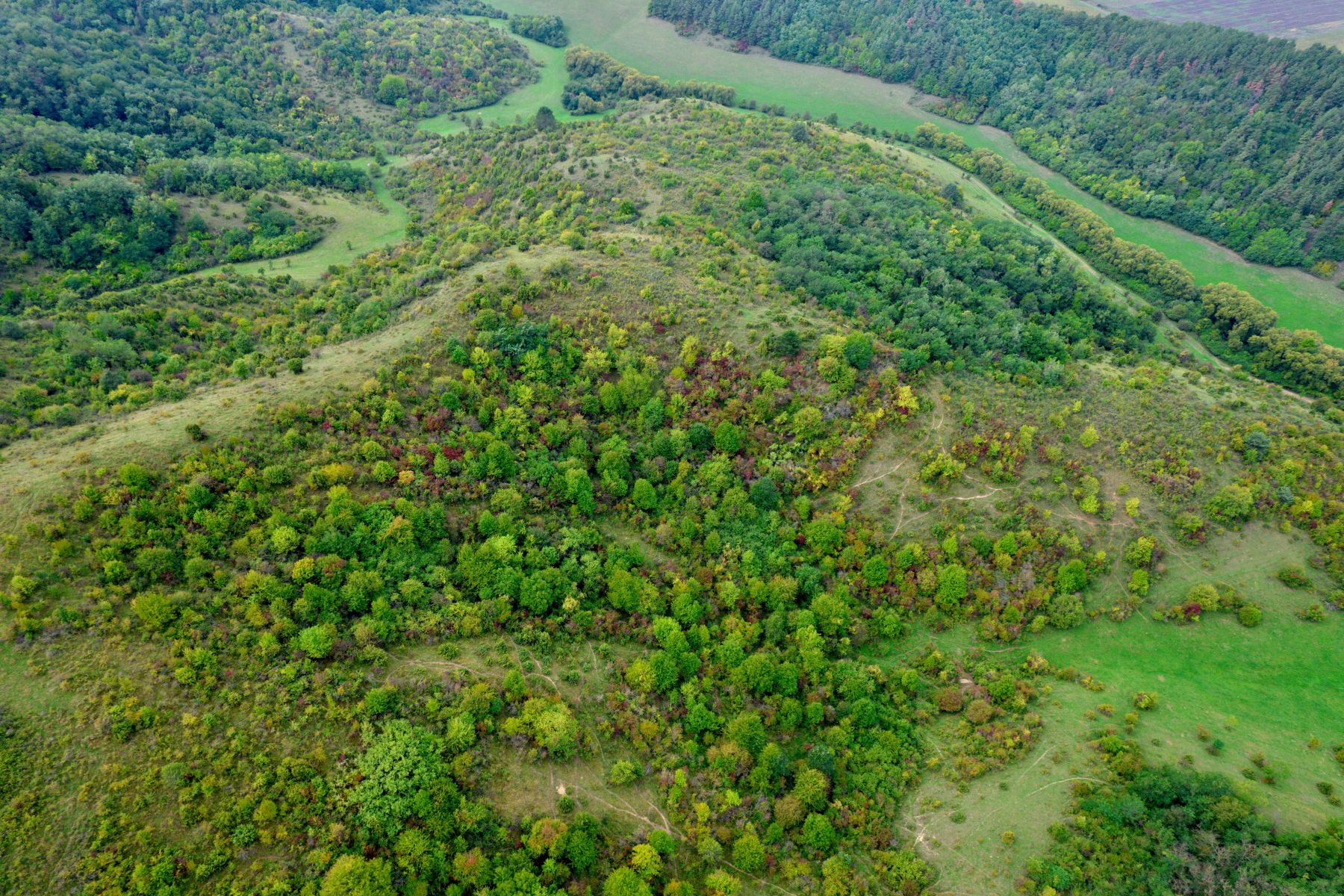
Abandonment of agricultural land represents a major land-use change with significant implications for biodiversity, ecosystem services, landscape structure, and rural development. In Slovakia, abandoned agricultural land exists in various succession stages, ranging from grasslands to shrublands and young forests; however, its spatial extent and ecological characteristics remain insufficiently quantified.
The SK-AAL project aims to develop a robust and transferable methodology for the identification and assessment of abandoned agricultural land, combining satellite data, very high-resolution imagery, UAV-derived 3D data, and detailed field observations.
Project objectives
The main objectives of the SK-AAL project are:
- Identification and classification of abandoned agricultural land (AAL)
Development of advanced algorithms to detect AAL and distinguish different stages of natural succession. - 3D monitoring of vegetation structure and biomass
Quantification of aboveground woody biomass on abandoned land using UAV and LiDAR-based approaches. - Field-based validation and ecological interpretation
Extensive field surveys to validate remote sensing results and to characterise vegetation composition and structure. - Support for land-use management and policy development
Translation of research results into recommendations for sustainable land management, biodiversity conservation, and agricultural policy.
Data and methods
Integrated data sources
- Agricultural land-use data (LPIS and related datasets)
- Satellite imagery, including very high-resolution data
- UAV-derived photogrammetric and 3D products
- Field measurements and botanical surveys
Methodological approach
The project integrates Earth Observation techniques with field-based data collection. Machine learning and spatial analysis methods are applied to classify abandoned agricultural land and succession stages, while UAV-based 3D data are used to estimate vegetation structure and aboveground woody biomass. All results are systematically validated using field observations.
Work packages
- WP1 – Identification of abandoned agricultural land
- WP2 – 3D monitoring and biomass estimation
- WP3 – Field surveys and validation
- WP4 – Reporting and policy-relevant outputs
- WP5 – Project management and communication
Expected outputs and impact
The SK-AAL project will deliver:
- Spatially explicit maps of abandoned agricultural land and succession stages in Slovakia
- Estimates of aboveground woody biomass on abandoned land
- Scientifically validated methodologies applicable at national and regional scales
- Outputs supporting evidence-based decision-making in agriculture, land-use planning, and biodiversity conservation
Contact
Principal Investigator:
Mgr. Tomáš Goga, PhD.
Institute of Geography, Slovak Academy of Sciences
Email: tomas.goga@savba.sk